


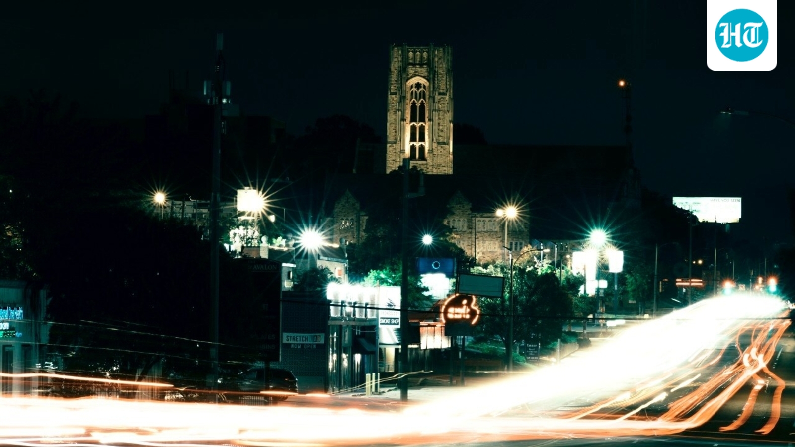
Memphis, Tenn. — Six lanes of traffic and crosswalks spaced roughly a half-mile apart characterize Union Avenue, a bustling commercial corridor lined with grocery stores, gas stations, and fast-food restaurants. Carrying approximately 30,000 vehicles a day, the roadway serves as an example of what urban planners call a stroad, a hybrid of a street and a road. While a traditional street connects people to local destinations, a road is engineered to move traffic quickly between destinations. A stroad attempts to perform both functions simultaneously, prioritizing vehicle speed and volume over pedestrian safety.
Federal data reveals that pedestrian fatalities across the United States increased by 72% between 2009 and 2024, positioning the country as an outlier compared to other developed nations where such deaths have declined. The dangers of these hybrid corridors came into sharp focus for local communities when young pedestrians, lacking personal vehicles and attempting to navigate wide, poorly lit thoroughfares after work or school, were struck and killed by motorists. Infrastructure experts note that many individuals working late shifts or residing near these corridors rely on walking, yet the surrounding built environment offers narrow sidewalks and distant crossing points.
Transportation researchers explain that stroads are typically wide, straight, and multilane, encouraging drivers to exceed legal speed limits without realizing it. Because these corridors often stretch across six lanes, nighttime lighting is frequently inadequate across the full width of the pavement. Consequently, pedestrians crossing midblock—often out of necessity due to crosswalks being spaced a half-mile apart—frequently surprise motorists who are not scanning their peripheries, leaving little time to brake.
Urban planning historians trace the proliferation of stroads back to the postwar era, when widespread suburban sprawl prompted local and state governments to construct expansive multi-lane routes connecting residential subdivisions to economic hubs. This expansion pattern persists today, particularly across the Sunbelt region, which has emerged as one of the most hazardous areas in the country for people on foot. State-owned routes often bear the brunt of these safety challenges; a recent nonprofit study found that a majority of roadway fatalities occurred on state-managed asphalt, while state transportation reports indicate that urban routes with higher speed limits are significantly deadlier than lower-speed municipal streets.
Compounding the danger is a national shift toward larger, heavier consumer vehicles, such as large SUVs and pickup trucks, which impact pedestrians with greater force. While vehicle safety improvements have helped reduce fatalities for automobile occupants, data from automobile associations shows that even moderate increases in vehicle speed drastically escalate the mortality risk for anyone struck outside a vehicle. Safety advocates and researchers continue to urge municipal leaders to rethink roadway engineering to protect vulnerable travelers who must navigate these high-speed urban corridors daily.