


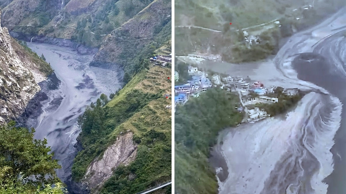
New Delhi: A sudden flood in Nepal’s Budhi Gandaki river in Gorkha district may have been triggered by a landslide that temporarily blocked the river’s flow, according to a preliminary report from the Nepal Army. Authorities believe the obstruction eventually gave way, releasing a powerful surge of water, soil, and debris downstream following an aerial survey of the affected region.
The official investigation into the exact source and cause of the flooding remains active. The sequence began when the Nepal Army's No. 3 Brigade Headquarters received initial reports at 5:55 a.m. Sunday indicating that the river flow had abruptly stopped. A reconnaissance team dispatched shortly after from a local security post confirmed a dry landslide in the Filim area of Chumnubri Rural Municipality, leading authorities to conclude the blockage preceded the sudden deluge.
Experts noted parallels to past events, with Dr. Dharma Raj Upreti of Nepal’s National Disaster Risk Reduction and Management Authority observing that the incident bore similarities to the August flooding in the Rasuwa-Bhotekoshi region. While that previous disaster stemmed from a displaced Tibetan glacier, officials emphasized that the underlying cause of the Budhi Gandaki flood is still unconfirmed. Drone-equipped teams have been deployed to the upper reaches of the river to inspect the geography and gather more data.
The high water level also inflicted infrastructure damage within Gorkha district, notably sweeping away the powerhouse of the under-construction Budhi Gandaki hydropower project located at Salleri in Dharche Rural Municipality. Initial estimates regarding local residential structures varied, with early reports suggesting up to ten houses might have been washed away, while subsequent updates indicated that one temporary home was destroyed, floodwaters entered several other dwellings and temporary shelters, and over twenty additional houses remained under immediate threat.
Because all current assessments are preliminary, authorities expect clearer details to emerge as assessment teams continue surveying the impact zone and investigating the upper river terrain.