


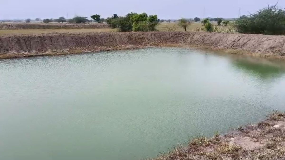
A centuries-old pond where Mughal emperor Jahandar Shah camped during a 1712 battle for the throne could hold clues to a lost water conservation site in Delhi. The Municipal Corporation of Delhi (MCD) is now exploring the possibility of restoring the historic water body for rainwater harvesting and groundwater recharge.Known as Kishan Das Talab, the pond is believed to have occupied a low-lying stretch behind the Central Road Research Institute (CRRI) campus, extending towards the Okhla Waste-to-Energy plant.
Its possible location has been mapped through historical records, old maps and present-day ground elevations, according to research by Dr Aqil Ahmed, member secretary of the MCD Heritage Cell.The civic body plans to approach three government agencies — the Delhi Jal Board (DJB), CRRI and the Delhi Development Authority (DDA), which owns land in the area — to share the findings and explore whether the lost water body can be restored.Reviving the pond alone would not resolve Delhi's water crisis, but a scientifically planned restoration could help retain rainwater and recharge groundwater, officials said. The feasibility would depend on the site's hydrology and the quality of water flowing into it.
The water body's history stretches back at least 314 years. On December 9, 1712, Jahandar Shah, caught in a struggle for the Mughal throne, left Delhi and camped at Talab Kishan Das near Khizrabad, around 11 km south of the city, according to Ahmed's research."The location was more than a convenient patch of open land.
A large imperial camp needed water, fodder, space for troops and animals, and access to a major road. The pond's position outside the congested city, but close enough to reach it, made the surrounding landscape suitable for such an encampment," Ahmed told PTI.
The pond also figured in accounts of another military episode. During Persian ruler Nadir Shah's invasion of Delhi in 1739, it was mentioned as a geographical marker beyond which a military patrol did not extend.Its name continued to appear in accounts of movements around the capital.
By the 19th century, the water body was sufficiently well known to feature as "Kissen Dass ka Talao" in an 1842 road itinerary listing stages along the Delhi-Agra route.Ahmed's research draws on historical accounts, maps and present-day elevations to narrow down where the pond may have stood.An 1807 map titled Sketch of the Environs of Delhi, a map of villages in the Delhi territory from 1828-29, and a 1914 map of Delhi and its surroundings have helped reconstruct the landscape around Khizrabad, Okhla, Kilokri and the old southern road.Ground elevations offer another clue. The research records an elevation of about 240 metres on Mathura Road opposite CRRI, compared with around 226 metres behind the institute's building and 225 metres near the rear of Okhla Tank.
Khizrabad lies at approximately 231 metres."The difference of about 15 metres between the higher stretch of Mathura Road and the lowest point near Okhla Tank suggests a natural depression towards which rainwater from surrounding higher ground could have flowed before roads, buildings and drainage systems altered the landscape," Ahmed said.The area behind CRRI and around Okhla Tank is therefore a "priority area" for further investigation, he added. The presence of marshy land and plantations could also warrant an ecological assessment.However, vegetation or waterlogged ground alone cannot establish that the historic pond survives beneath the surface.Before restoration can be considered, the agencies concerned will need to establish the water body's footprint and determine whether any part of its original basin remains.The research recommends comparing historical maps with revenue records, village maps, old drainage plans and earlier aerial imagery.
Field surveys would then be needed to identify any surviving depression, embankment or other physical traces."If the original basin or a recoverable part of it is identified, restoration could involve clearing accumulated debris, recovering the natural contours of the depression and creating a system to collect and retain rainwater," Ahmed explained.The proposal comes amid wider efforts to trace and revive Delhi's lost water bodies. In April 2024, the Delhi High Court, while hearing a case concerning waterlogging, drainage and water conservation, noted that several listed water bodies in the city no longer existed on the ground.The court was informed that Delhi had 1,367 water bodies, including 322 identified through satellite imagery, but ground verification had been completed for only 344 at the time.Before modern water-supply and drainage networks transformed the city, tanks and ponds stored seasonal rainwater and supported settlements, travellers and military movements.
Many have since disappeared from public memory, although their former basins may still offer clues to how water once moved through the landscape.The MCD Heritage Cell's research could be a starting point for establishing whether Kishan Das Talab's footprint survives and whether restoration is feasible. For a water-stressed Delhi, recovering the historic pond could offer more than a link to the city's past: it could help identify a site where rainwater might once again be conserved.- Ends